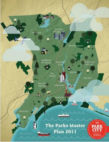
The Parks Master Plan for the Black Rock section of Bridgeport was presented to the Black Rock NRZ at their June 2012 meeting. In it, Adam Wood described plans for the barrier beach at the mouth of the Ash Creek tidal estuary, which has also been referred to as “the sand spit at St. Mary’s”. The plan calls for two pavillions for picnic tables and three boardwalks connecting the pavillions to each other and the sidewalk. Given the strength of recent storms that have swept across the barrier beach, we were surprised to see any structures planned for this area. It seems like a perfect area for the renaturalization goals of the Master Plan and given that it is a dune colony in need of restoration, which is being monitored by the DEEP, it would make sense that this area would the focus of further restoration efforts, not the development of structures.
Our organization will work with the DEEP and the City of Bridgeport to have discussions with the City to obtain more information on their plans for this area and share the information from our forthcoming ecological study on Ash Creek, so that the City can understand the short and long-term ramifications of such development. The City of Bridgeport Parks Master Plan is attached to this post (see pages 50-53 of the Plan for details on Ash Creek). We are very supportive of the Parks Master Plan overall and we participated by providing input as it was developed. The City of Bridgeport is working with us in an advisory capacity on our ecological study and we are anticipating a productive partnership with them. We have established an Advisory Group for this study that includes representatives from the City of Bridgeport (Steve Hladun, Parks Department), the Town of Fairfield (Tom Steinke, Conservation Department), and the State of Connecticut (State Rep. Auden Grogins). We are expanding this Advisory Group to include the Black Rock NRZ (Joe Ianniello, President).
The DEEP has said that the City would need to apply for a permit for the structures given the changes to the Coastal Management Act that became effective October 1, 2012. This legislation replaces the statutory definition of “high tide line” wth one for “coastal Jurisdiction line” which is different for each municipality. In Bridgeport, anything below 5 feet (NAVD88) is under the jurisdiction of the Coastal Management Act. It is not clear how much of the barrier beach is below 5 feet NAVD88, so the DEEP would require the City to produce a recent survey of the land to show that the structures would be above the 5 feet NAVD88 line (that is a land-based elevation line used in tidal wetland surveys to approximate sea level vs. the former water-based elevation using high tide lines). The Coastal Management Act protects dune habitats and the barrier beach is defined as a dune habitat by the DEEP. If the City were to proceed and build structures without permission from the DEEP they could face hefty fines that would affect the City’s taxpayers. \


